  gallery gallery
Hall 3 No. 1 : Stereo images across Japan
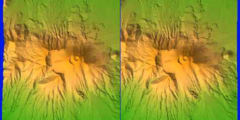
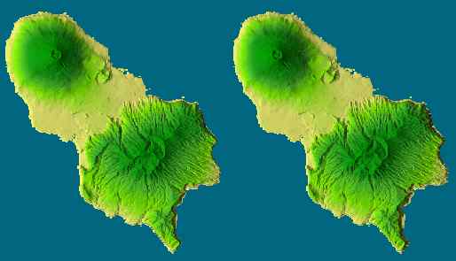
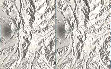
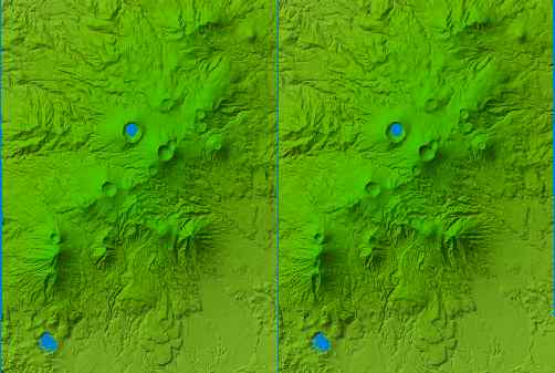
See left picture by left eye and right picture by right eye.
Mt Asama.
Hatijo Island
Mt. Daisen
Mt. Kirishima
Mt. Kaimondake
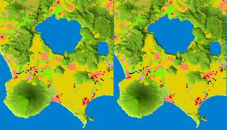
Data : 50 m grid elevation. Land use for Mt. Kaimondake.
Return to index
Copyright 1998, Yoshiaki Katayanagi
|